Riverbend Ponds Natural Area in Aerial Photography

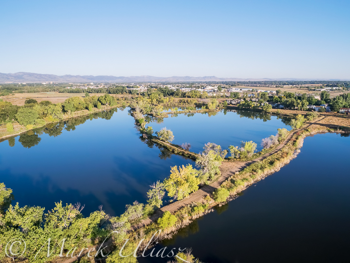
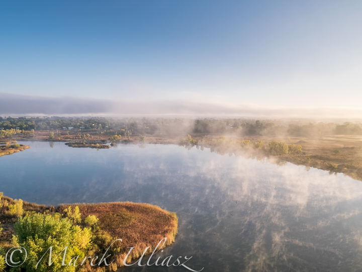
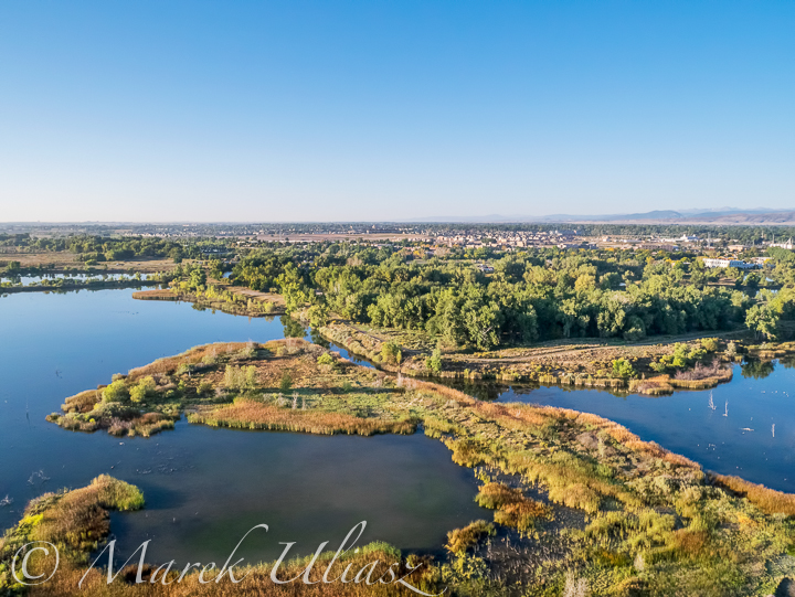
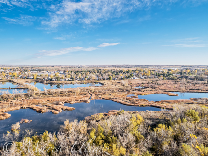
Riverbend Ponds is one of natural areas of Fort Collins created in the Cache la Poudre River corridor.

It offers a lot of diversity with a stretch of the Poudre River, several ponds and wetlands. There are seven former gravel mine ponds to choose from so it is a popular fishing site. The Colorado Division of Wildlife stocks the ponds with warm-water species (usually largemouth bass, crappie and channel catfish). Birders also enjoy Riverbend Ponds- over 200 species of birds feed, rest, nest, and migrate through including green herons, a wide variety of ducks, American white pelicans, double-crested cormorants and others. Riverbend Ponds’ flat trails with loop options and varied habitat appeal to many hikers and dog-walkers.

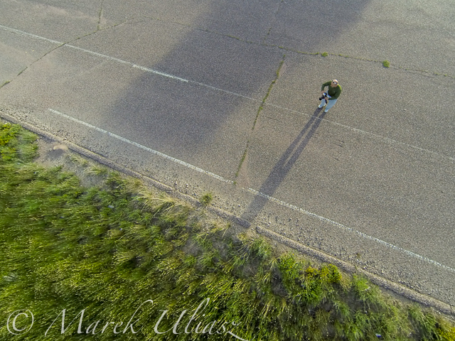
It is one of my favorite local paddling destination. I use small ponds near the Timberline Street trailhead for paddling a packraft or SUP (stand-up-paddleboard). These ponds can serve as an easy access to the Poudre River for downriver trips. This year I explored the Big Pond by canoe and SUP, but starting from the Prospect Street trailhead.

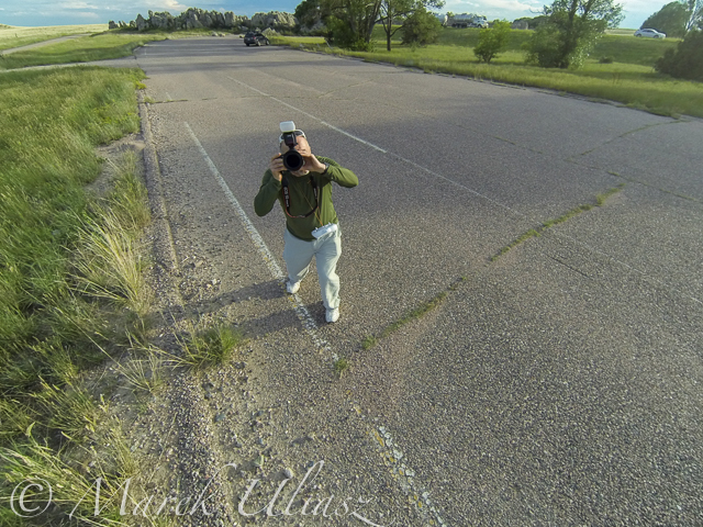
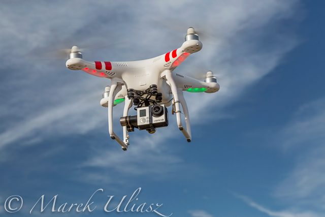
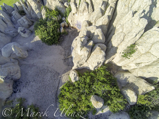
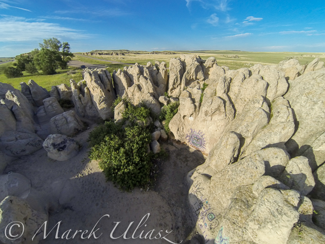
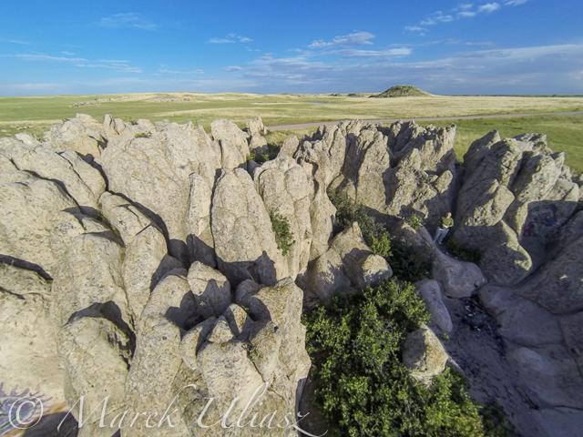
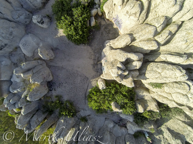
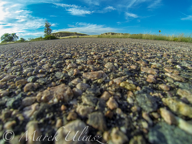
You can find several pictures of this areas in my blogs from paddling and walking. However, the pictures below offer a little different perspective – birds eye view. There were shot during Septenber and October, 2014 with the Panasonic Lumix GM1 camera flying on board of the DJI Phantom 2 quadcopter drone.

aerial view of lake natural area
September 24, 2014. 4 ponds in the northern part near Timberline Street trailhead
September 24, 2014
September 24, 2014. Big Pond looking southwest
October 2, 2014
October 2, 2014, Big Pond looking northeast
September 24, 2014
September 24, 2014. Big Pond looking southwest
October 29. 2014
October 29. 2014, Big Pond looking northeast

Some of my aerial pictures shot with Panasonic Lumix GM1 and GoPro Hero 3 are available for licensing as royalty free images directly from Pixel Away Stock website. The portfolio includes also pictures of the Phantom drone in action and some related gear. I will be posting more aerial pictures from the Fort Collins area and technical comments on flying Lumix GM1 camera with the Phantom quadcopter.

Related posts and resources:
October Photo Walk at Riverbend Ponds Natural Area, Fort Collins, Colorado
Winter at Riverbend Ponds Natural Area, Fort Collins, Colorado
SUP (Stand Up Paddleboard) in Riverbend Ponds Natural Area
Speed Test of Alpacka Yukon Packraft

Facebooktwittermailby feather

Natural Fort Flight Mission with DJI Phantom 2 Drone

When you are driving in northern Colorado on I-25 to Wyoming you will several rock outcroppings about 5 miles before state line. The most prominent is Natural Fort, a geological and historical landmark. Is on eastern side of the highway. You can access it from a frontage road taking Carr exit. Years ago, there was a highway parking there without any facilities. There is still an old parking lot.

I have some sad feeling about this place since it is trashed and vandalized. New stupid graffiti was added sometime this spring. Nevertheless, I am visiting Natural Fort quite often to take pictures of these rocks and surrounding prairie. You can find some resulting pictures in my stock photography portfolio. I can only imagine how magical this place was in the past.

My last visit this summer included some aerial photography with Phantom 2 Quadcopter flying with GoPro Hero 3+ Black Edition camera. Actually, it was my first flying mission outside my backyard. I did a few low level flights from outside and inside the Fort. I was shooting still pictures in the interval mode. GoPro Hero was mounted on a gimbal which allows to remotely control the camera angle. I will be posting more aerial pictures and, perhaps, video clips.


Piloting and photographing DJI Phantom 2 Quadcopter Phantom 2 Quadcopter Drone
Piloting and photographing DJI Phantom 2 Quadcopter from the old parking near Natural Fort

DJI Phantom 2 Quadcopter Drone
Airborne DJI Phantom 2 Quadcopter Drone with GoPro Hero 3 camera
Aerial view from the Phantom 2 drone
Low level flight over Natural Fort with DJI Phantom 2 drone
Low level flight over Natural Fort with DJI Phantom 2 drone. The pilot is visible at lower right corner.
Low level flight over Natural Fort
Landing on the pavement


Related posts:
Natural Fort Geological Landmark at Winter Dawn
UFO Abducted My GoPro Camera …

Facebooktwittermailby feather